Explore Gabo Island
A 154-hectare wilderness of red and pink granite, wind-sheared coastal heath, protected bays, and century-old maritime landmarks.
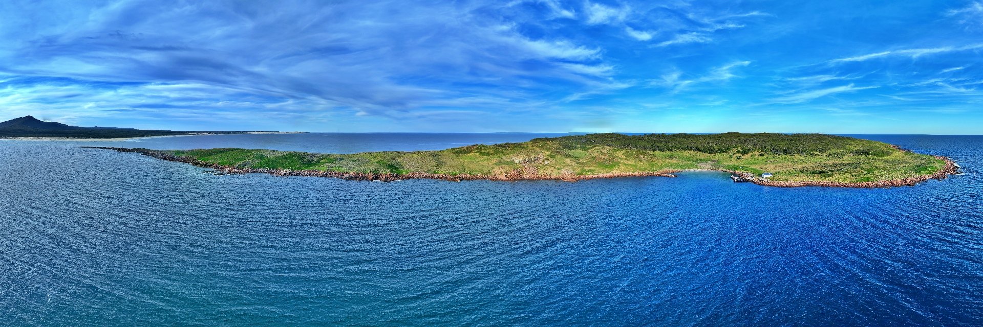
Gabo Island from the Sea
GEN-PANO-010The whole island from the water. Forested granite, a rocky cove and the East Gippsland mainland coast beyond.
The Lighthouse Precinct
The southern headland is crowned by the 47-metre pink granite tower, surrounded by the head keeper’s quarters, assistant keepers’ cottages, engine sheds, and weather observation arrays. The light overlooks the open expanse of the Tasman Sea.
Lighthouse History & Architecture →Santa Barbara Bay & Harbour
The primary maritime landing on the island, sheltered from southerly gales by high granite headlands. A rugged granite breakwater protects the historic white jetty shed and provides safe boat mooring during calm weather.
View Harbour Panorama →The Pink Granite Quarry
Between 1859 and 1862, stonemasons blasted, cut, and dressed thousands of tonnes of high-grade pink granite from this exposed coastal quarry to construct the lighthouse tower and cottages, with residual stone shipped to Melbourne.
Read Quarrying Story →Central Plateau & Airstrip
The grass airstrip spans the spine of the island, flanked by dense coastal heath, swamp paperbarks, and wildlife trails worn into the grass by generations of cattle and lightkeepers.
Air Access & Runway →Facing the Mainland & The Howe Ranges
From the western ridges of Gabo, the view reaches across the narrow tidal channel toward Telegraph Point and the ancient silhouette of the Howe Ranges.
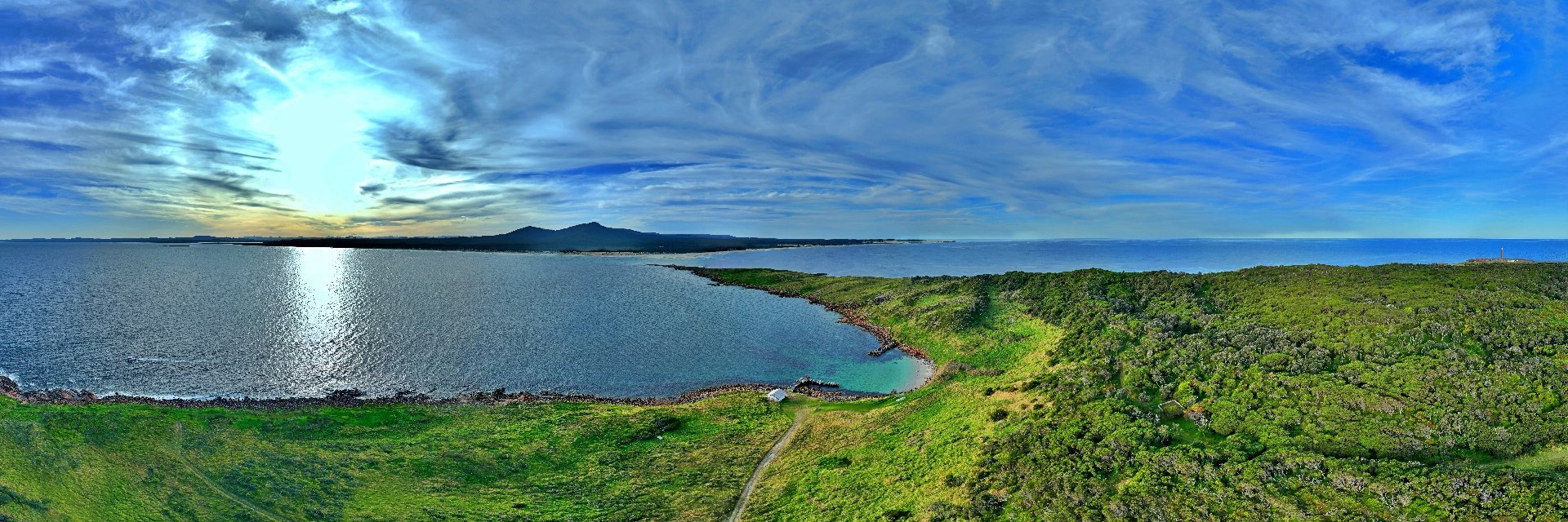
From Gabo Island to the Mainland
GEN-PANO-012Looking toward the mainland from the island. Sun on the water, the Howe Ranges and a glimpse of the lighthouse at the point.